Want the quiet side of Ocean City without giving up easy beach and boardwalk access? If you are looking for a relaxed neighborhood that still puts surf, dunes and bike rides at your doorstep, the Gardens is a smart place to start. In this guide you will learn where the Gardens sits, how beach access works, what the housing and zoning look like, and the key steps to buy with confidence. Let’s dive in.
Where Gardens sits
On Ocean City’s official zoning map, the Gardens Neighborhood appears as a distinct residential pocket on the island’s north and north‑central end. You can confirm the designation on the city’s zoning map. The main northern vehicle approach into town is the Stainton Memorial Causeway on Route 52, which connects the mainland to 9th Street downtown, placing Gardens within easy reach of this gateway. For context on the causeway, see New Jersey Route 52.
Unlike the tighter mid‑island grid, the north end features more curvilinear streets and a leafy, residential feel. The city’s floodplain plan notes Ocean City’s overall grid pattern but highlights the north end’s different street geometry, which helps explain the quieter vibe you experience in the Gardens. You can review that context in the Floodplain Management Plan.
Beach access and surf spots
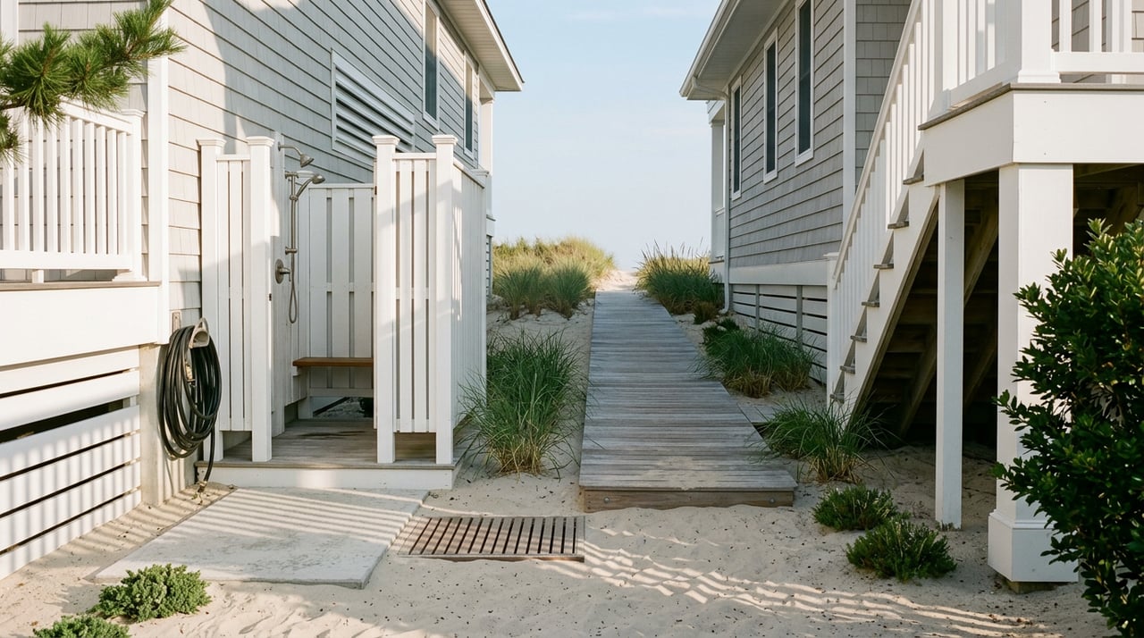
The Gardens offers a mix of direct ocean access points and natural dune paths. The municipal Public Access Plan lists specific entrances that serve this area, including access near the end of Beach Road and Gardens Road, as well as North Street path endpoints. It also identifies Waverly Boulevard (Waverly Beach) as a designated surfing beach that is guarded when lifeguards are on duty. For exact entrances and seasonal details, review the city’s Public Access Plan.
Lifeguards, tags, and rules
Ocean City requires beach tags for people age 12 and older during the season. A subset of beaches are guarded by the Ocean City Beach Patrol typically from Memorial Day through mid‑September. The city bans alcohol in public areas and prohibits smoking on beaches. These policies help keep north‑end beaches comfortable for a wide range of visitors. You can confirm current rules on the city’s Beach FAQs.
Boardwalk proximity
From much of the Gardens, you can reach the boardwalk by bike or on foot. Depending on your exact address, plan on a short ride or roughly a 10 to 20 minute walk to central boardwalk blocks. For a specific home, check a walking map or time your route to the nearest guarded entrance listed in the Public Access Plan.
Housing and lot sizes
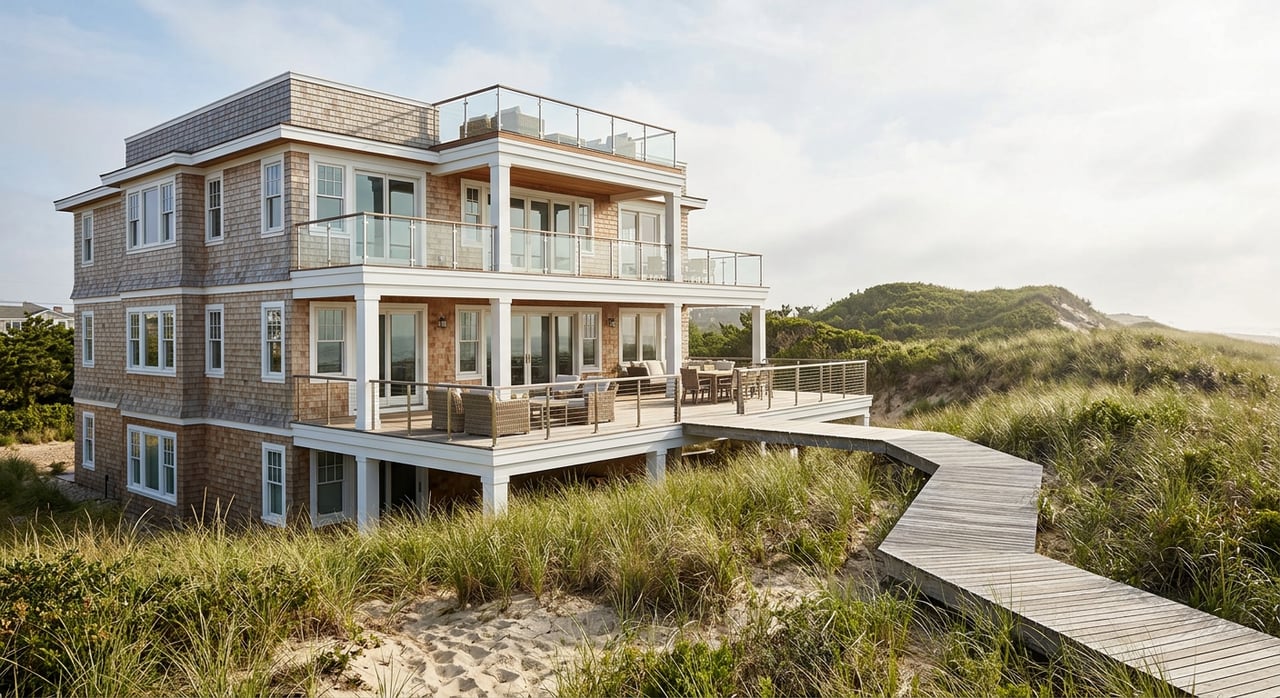
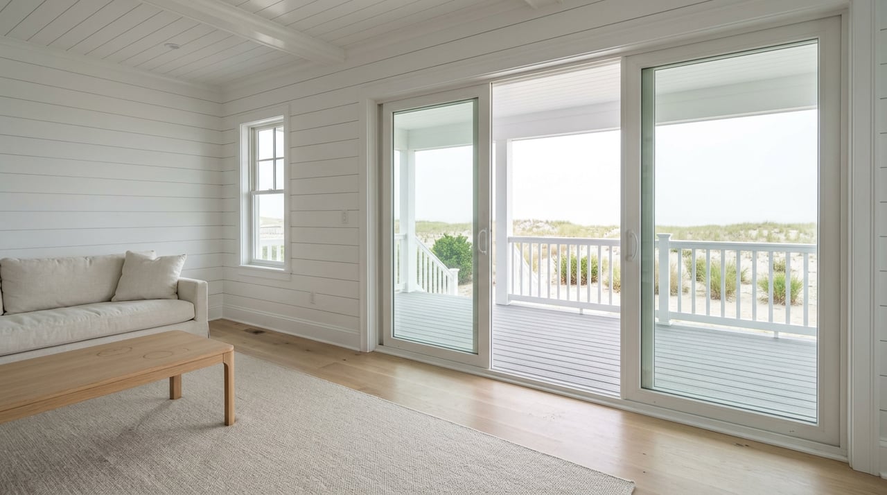
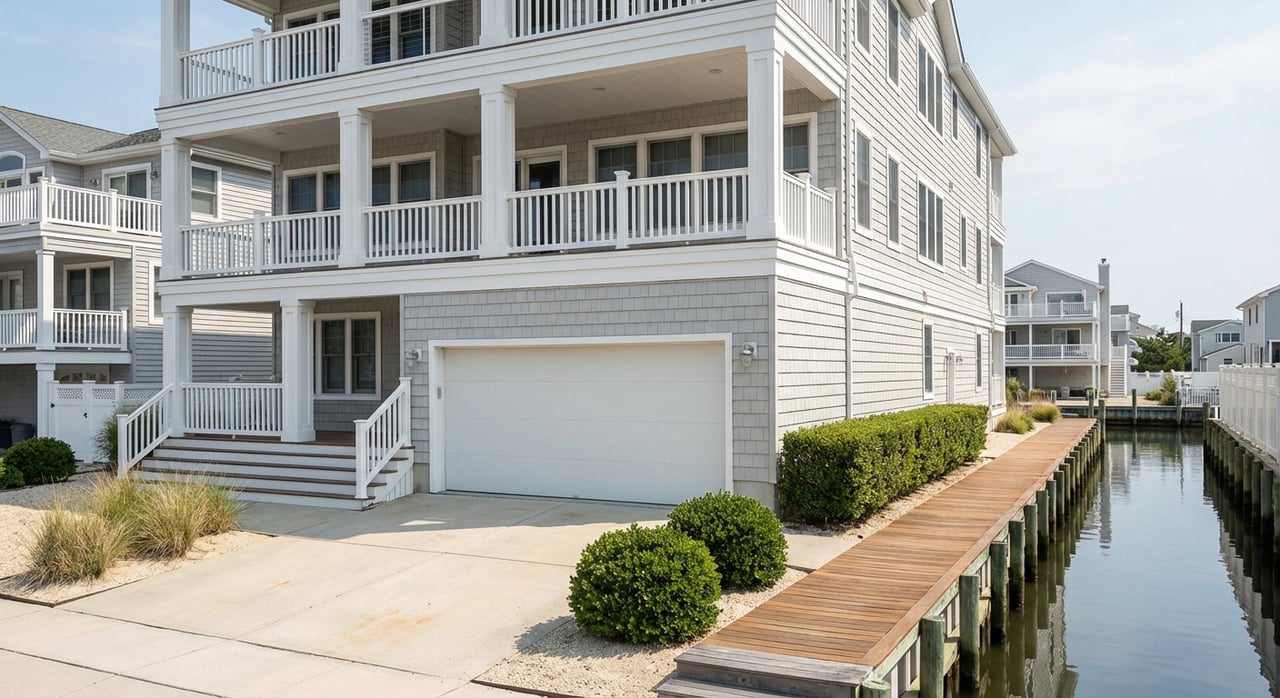
You will find a wide range of homes in the Gardens. Inland streets include older beach cottages, mid‑century single‑family homes, and a number of smaller condo conversions. On the oceanfront and immediate ocean blocks, you will see high‑value rebuilds and modern elevated beach houses. Current listings in the Gardens often span from condos under one million dollars to bespoke oceanfront and bayfront homes at multiple millions, reflecting both second‑home demand and luxury construction. Inventory changes quickly, so confirm pricing on your target date.
Many Garden lots are roomier than mid‑island parcels. City planning materials reference a Gardens‑specific zone historically labeled G‑75/7000 in portions of the neighborhood, along with other R‑zone minimums that shape lot width and area. In practice, that history and the current schedules mean you will often see 50‑foot and wider frontages in this area, and some blocks reflect minimum widths closer to 75 feet with around 7,000 square feet. For zoning background and recommendations, see the Planning Board’s Master Plan Reexamination.
Zoning and your plans
Setbacks, lot coverage and impervious limits affect outdoor space, off‑street parking, pools and garages. The municipal code allows certain accessory uses in residential zones, including private garages and private pools, but the exact rules vary by zone and whether a property is grandfathered. Always verify your property’s zone and bulk standards with the municipal zoning office before planning additions or a rebuild. You can review accessory use allowances in the city’s zoning ordinance and confirm a property’s zone on the zoning map.
Coastal and flood factors
The city’s coastal planning emphasizes dune protection, beach renourishment, and responsible development near the shore. The Planning Board has recommended rezoning narrow dune or shore parcels to Beach & Dune categories to preserve flood mitigation, and tidal‑area work can trigger CAFRA permitting. As a buyer, plan to request elevation certificates, review FEMA flood zones, and obtain early quotes for NFIP or private flood insurance. For context, see the Master Plan Reexamination and the Floodplain Management Plan.
Why buyers choose Gardens
- Quieter residential feel. Curvilinear streets and fewer commercial frontages create a calmer setting than the center‑island blocks, as noted in the city’s planning documents. See the north‑end street context in the Floodplain Management Plan.
- Larger lots and modern rebuilds. Wider frontages and zoning standards support outdoor space, parking and high‑quality new construction in select locations. Review the Master Plan Reexamination for background.
- Easy in‑and‑out. Quick access to the Route 52 causeway makes weekend trips simpler. For causeway context, see New Jersey Route 52.
- Family‑oriented beach policies. Required beach tags, guarded beaches in season, and no alcohol or smoking on beaches contribute to a relaxed experience. Confirm details on the city’s Beach FAQs.
Buyer checklist
Use this quick list to evaluate a specific Gardens property:
- Pin down exact beach access. Identify the nearest guarded entrance and surf beach using the Public Access Plan.
- Verify lot and zoning. Confirm your parcel’s zone and any special area designations on the zoning map, then review applicable standards in the zoning ordinance.
- Plan for coastal risk. Request the elevation certificate, review FEMA zones, and ask an insurer for flood coverage options. The city’s approach to dunes and mitigation is summarized in the Floodplain Management Plan.
- Check rebuild potential. If you are considering an addition, pool or new construction, understand setback, coverage and accessory use rules. The Master Plan Reexamination explains long‑term planning direction.
- Confirm seasonal details. Beach tags, lifeguard schedules and public‑space rules are updated by the city. See the latest on the Beach FAQs and verify any rental licensing or occupancy requirements with the municipal office.
Work with a local team
The Gardens rewards careful, well‑informed buyers. If you want guidance on lot size, rebuild options, flood considerations and market timing, work with a team that lives these streets season after season. The Cheryl Huber Team brings decades of Ocean City expertise, full‑service buyer representation, and new‑construction insight across price points, from modest condos to multi‑million waterfront homes. When you are ready to explore the Gardens, reach out to Cheryl Huber to get clear answers and a plan that fits your goals.
FAQs
How quiet is the Gardens compared with mid‑island in Ocean City?
- The north end features more curvilinear residential streets and fewer seasonal commercial frontages, which generally creates a calmer setting than center‑island blocks. See the city’s street‑pattern context in the Floodplain Management Plan.
Is there direct beach access from most Gardens streets?
- Many north‑end streets end at dune paths or signed beach entrances. The city’s Public Access Plan lists exact locations, including access near Beach Road and Gardens Road and at North Street. Review the Public Access Plan for specifics.
What zoning rules affect pools, garages or additions in the Gardens?
- Ocean City permits certain accessory uses, including private pools and garages, in designated residential zones. Setbacks, coverage and other standards vary by zone and lot status. Check the zoning ordinance and confirm your parcel’s zone on the zoning map before planning work.
How close is the Gardens to the Route 52 causeway and boardwalk?
- The Gardens sits on the island’s north and north‑central side with convenient access to the Route 52 causeway into 9th Street. Many homes are a short bike ride or a 10 to 20 minute walk to central boardwalk blocks, depending on the address. See New Jersey Route 52 for causeway context.
What should I know about flood risk and insurance in the Gardens?
- As with any barrier‑island location, review elevation, FEMA zones and potential CAFRA triggers for shore‑adjacent work. The city highlights dune protection and beach renourishment as key mitigation tools. Start with the Floodplain Management Plan and ask your insurer for a flood quote early.